
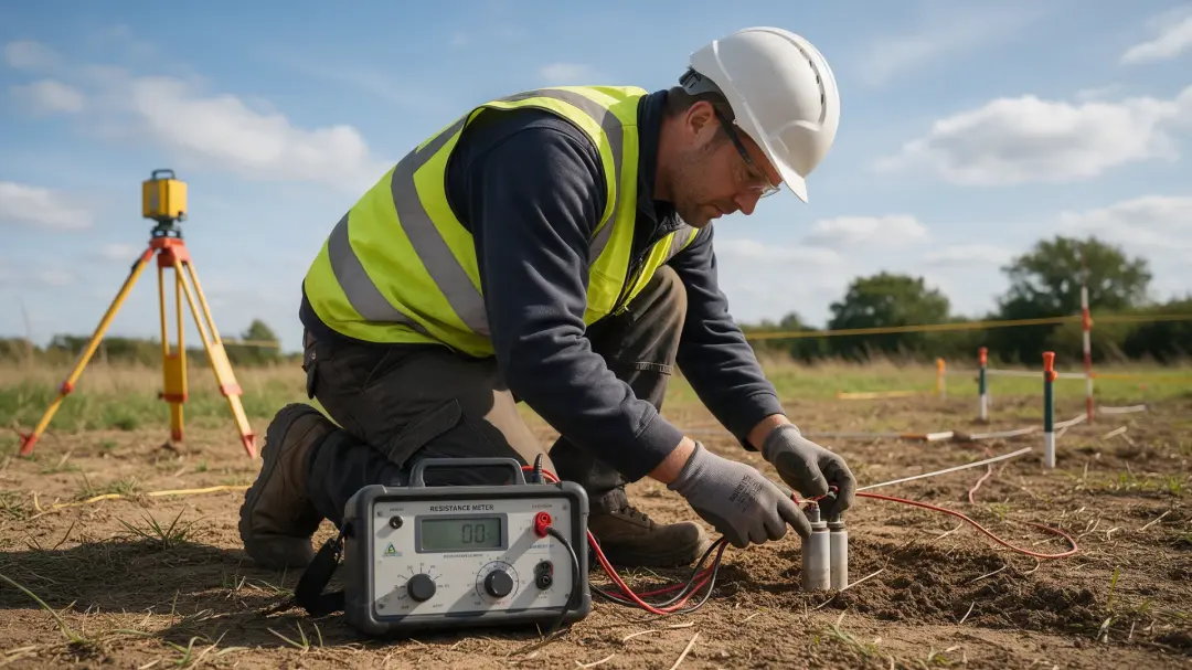
Rock resistivity can reveal where subsurface conditions are consistent with water-bearing formations, how those formations change and whether saline water may be present. It cannot confirm a productive freshwater supply by itself: geology, water chemistry and borehole evidence are needed to interpret the electrical pattern.
Why Water Changes the Electrical Response of Rock
Many common rock-forming minerals conduct poorly, while dissolved ions allow pore water to carry current. A rock’s bulk resistivity therefore depends on the fluid within it and whether its pores or fractures form connected pathways. Water-filled openings can make a formation more conductive than the same material when dry.
The quantity measured represents the combined rock-and-fluid system. A reading is not a direct measurement of litres of groundwater or the volume a well will yield. Separating these questions prevents a conductive anomaly from being interpreted as a usable aquifer before its geological context has been established.
Aquifers, Aquitards and the Clay Problem
An aquifer stores and transmits water sufficiently well to support useful flow. An aquitard restricts that flow. Both can be conductive: clay-rich ground may hold moisture and support electrical conduction along mineral surfaces even though water moves through it slowly.
Consequently, the lowest resistivity on a section is not necessarily the best drilling target. A conductive layer could be permeable sand containing saline water, relatively impermeable clay, or a mixture. Existing borehole logs, geological mapping and complementary measurements help distinguish these possibilities. The useful interpretation identifies a plausible formation, not just a preferred colour on the image.
Porosity and Fracture Connectivity
Porosity describes the fraction of a rock occupied by void space. Permeability describes how easily fluid passes through it. The two are related but not interchangeable. A porous rock can have poorly connected pores, while a relatively dense rock may transmit groundwater through a small network of open fractures.
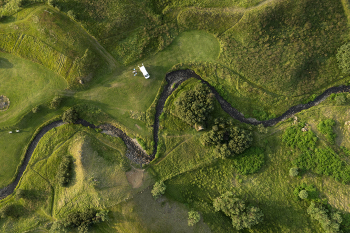
Electrical measurements are sensitive to connected conductive pathways, but converting that response into hydraulic properties needs a suitable model and calibration. In fractured rock, fracture orientation, aperture and infill may all matter. Weathered zones and faults deserve investigation, yet a clay-filled fault may behave differently from an open, water-bearing fracture system.
Fresh Water and Saline Water Can Look Very Different
Increasing dissolved salt generally increases pore-water conductivity and lowers bulk resistivity when other conditions are comparable. Surveys may therefore help delineate a saline transition or changes in groundwater chemistry. Temperature and mineral surfaces also influence the response.
No universal resistivity threshold identifies drinking water. Even a formation interpreted as freshwater-bearing must be sampled for water quality. Electrical evidence cannot confirm microbiological safety or exclude every dissolved contaminant. USGS borehole guidance explains how fluid-resistivity measurements help locate changes in dissolved solids and possible water-bearing zones. Source: USGS borehole geophysics.
Read related articles:
How Moisture and Salinity Affect Soil Resistivity
The Physics Behind Electrical Resistivity
A Recent Aquifer Investigation in Numbers
A June 2025 study in Warasia, Ambon City, Indonesia used two 120-metre electrical resistivity tomography profiles alongside well-water measurements. It interpreted aquifers at depths of 3–5 metres in volcanic tuff with resistivity values of 4.22–72.7 Ωm. The researchers also estimated porosity using Archie’s law. Source: Bahri and colleagues, 2025.
Those values belong to that volcanic setting and its modelling assumptions. They are not a lookup table for British groundwater. The study illustrates why electrical results should be combined with local lithology and water information instead of exporting a successful site’s numerical range to unrelated geology.
What a Resistivity Section Actually Shows
Electrical resistivity tomography collects many electrode combinations and uses inversion to estimate a subsurface resistivity model. The section expresses one model consistent with the observations and processing choices. Boundaries may be smoothed, and deeper parts may be less well constrained than shallow ground.
Sensitivity is not uniform across the profile. Surface obstacles, limited line length and conductive layers can restrict what is resolved. A convincing report identifies the trustworthy investigation depth, uncertainty and alternative interpretations. A beautifully coloured section is useful only when its limitations are visible to the person selecting the next investigation.
From an Electrical Target to a Groundwater Decision
A groundwater programme should begin with existing geology, nearby well records, recharge conditions and the intended water demand. Survey lines then test particular questions: the position of a weathered zone, continuity of a layer, or possible saline influence. Drilling locations can be ranked using the combined evidence.
A borehole, geological log, water-level observations, pumping test and chemical analysis establish whether the target is useful. The electrical survey reduces uncertainty between direct observations but does not replace them. A productive well also depends on sustainable recharge and hydraulic connection, which cannot be inferred from resistivity alone.
Use Archie’s Law Only Where Its Assumptions Fit
Archie-type relationships connect bulk resistivity with pore-water resistivity, porosity and saturation in suitable porous materials. Their coefficients reflect pore structure and require calibration. Conductive clay or minerals can violate the assumption that conduction is primarily through pore water, making a simple estimate misleading.
A conceptual comparison illustrates the dependency. Two equally saturated clean sands with the same pore geometry but different water salinity can show different bulk resistivity without any change in porosity. Conversely, changing pore connectivity can change the response even when the fluid stays identical. Before converting a survey model into an aquifer parameter, ask how the fluid resistivity was established, which coefficients were used and whether the formation meets the model’s assumptions. Estimates should be presented with their uncertainty and checked against direct evidence. A calculated porosity value is not a measured pumping yield, and treating the two as equivalent would conceal the hydraulic question the investigation still needs to answer.
Match the Survey Scope to the Question
The resistivity service on this website describes shallow twin-probe archaeological investigation, usually to around one metre, for contrasts associated with foundations, rubble and moisture-retaining features. A groundwater investigation may need a different array, line length, depth and specialist hydrogeological interpretation.
When contacting Pre-Construct Geophysics, specify whether the question concerns shallow buried features or groundwater. Share the site plan, relevant ground records and intended investigation depth. This allows the survey scope to be discussed honestly instead of assuming that every service using electrical measurements provides the same aquifer assessment.
Summary
Rock resistivity can help locate plausible water-bearing ground and investigate salinity or geological boundaries. It becomes decision-ready when checked against local lithology, borehole observations and hydraulic tests. The most conductive zone is not automatically the most productive or safest water source.
Explore Pre-Construct Geophysics’s resistivity service and explain your site question so the appropriate scope of investigation can be discussed.
Resistivity Survey