

Wondering What Can an Archaeological Geophysical Survey Detect? Discover how non-intrusive methods reveal buried features like walls, ditches, and artefacts, helping preserve historic sites.
What Is an Archaeological Geophysical Survey?
An archaeological geophysical survey is a non-intrusive investigation used to search for possible buried remains without excavating the ground. Specialists collect measurements across a site using equipment that responds to magnetic, electrical or physical differences beneath the surface.
The resulting data is processed into plans showing patterns known as anomalies. These anomalies may represent ditches, pits, walls, roads, buildings, areas of burning or more recent ground disturbance. Common methods include magnetometer survey, electrical resistance survey and ground-penetrating radar.
Each method responds to different properties, so the best option depends on the expected remains, soil, geology, ground surface and required survey detail. Geophysical surveys can cover large areas relatively quickly while leaving buried deposits undisturbed. However, they do not provide a complete view of everything below ground. Their findings require professional interpretation and may need to be tested through trial trenching or another form of archaeological investigation.
How Do Geophysical Surveys Detect Buried Features?
Geophysical surveys detect buried features by measuring small physical differences between archaeological remains and the surrounding ground. These differences may involve magnetism, electrical resistance or the way radar energy is reflected. Instruments record measurements at regular intervals while the surveyor moves systematically across the site. A magnetometer records changes in the local magnetic field. Buried ditches and pits may contain magnetically enhanced soil that differs from the natural ground. Kilns, furnaces and hearths can produce stronger magnetic readings because intense heat changes iron minerals within the soil.
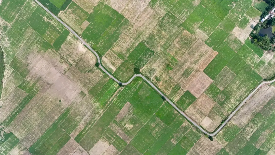
Electrical resistance survey passes a small electrical current through the ground. Moist ditch fills often conduct electricity more easily and create lower resistance readings. Stone walls and foundations usually retain less moisture, producing higher resistance.
Ground-penetrating radar sends radio energy below the surface and records reflections from changes in material. It can provide information about the possible depth and shape of walls, voids, floors and other remains. The instruments do not produce direct pictures of buried archaeology. Instead, they create datasets containing patterns that specialists assess.
Modern pipes, geological changes and farming activity can produce similar responses. Interpretation therefore considers the anomaly’s shape, strength, position and relationship with other evidence before suggesting an archaeological cause.
Buried Walls and Building Foundations
Buried walls and building foundations can often be detected when their physical properties contrast with the surrounding soil. Electrical resistance survey is particularly useful because stone foundations usually hold less moisture than nearby ground, producing areas of higher resistance. Ground-penetrating radar may also record strong reflections from masonry, floors and foundation edges.
Magnetometer survey can detect some walls, but results depend on the magnetic properties of the stone and soil. Fired brick, magnetic building material or surrounding occupation deposits may produce clearer responses than non-magnetic stone. Survey results may reveal rectangular rooms, corridors, courtyards or separate buildings. They can also show where foundations have been removed or disturbed.
Detection depends on depth, preservation and later land use. Shallow ploughing, construction and demolition may weaken or confuse patterns. Geophysical results can indicate a building plan, but excavation may still be needed to confirm its date, function, construction and condition.
Ancient Ditches and Enclosures
Ancient ditches are among the features most commonly identified by archaeological geophysical surveys. After a ditch falls out of use, it gradually fills with soil, organic material and waste. This filling may have different magnetic and moisture properties from the undisturbed natural ground, allowing the feature to appear as a clear linear anomaly. Magnetometer surveys often detect ditches because their fills may contain magnetically enhanced topsoil. Electrical resistance can also identify them when the ditch holds more moisture than the surrounding soil. Ground-penetrating radar may show larger ditches where their fill creates a strong physical contrast.
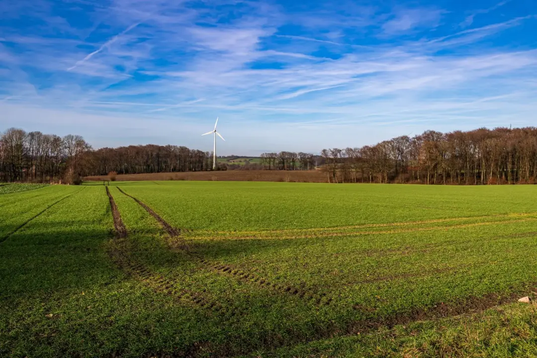
Ditches may form circular, square, rectangular or irregular enclosures around settlements, fields, burial monuments or defended sites. Survey plans can show entrances, internal divisions and overlapping boundaries from different periods.
Large landscapes may contain several enclosure systems representing repeated changes in land use. Not every ditch produces a strong response. Ditches filled with material similar to the natural ground may be difficult to identify.
Modern drains, geological cracks and former field boundaries can also create linear anomalies. Survey interpretation considers the complete pattern rather than one isolated line. Trial trenches may then be positioned across selected anomalies to confirm that they are archaeological, establish their depth and recover evidence that can help determine their age and purpose.
Pits, Postholes and Settlement Features
Pits and postholes can provide evidence of houses, storage, cooking, craft activity and waste disposal. They may appear during magnetometer surveys when their fills contain darker or more magnetic soil than the surrounding ground. Larger pits generally produce clearer responses than small postholes. Groups of anomalies may suggest settlement activity, even when individual features cannot be identified with certainty. Circular or rectangular post arrangements might represent buildings, fences or raised structures.
Areas containing many pits can indicate repeated occupation or industrial work. Small postholes are difficult to detect because they may be below the survey resolution or produce limited physical contrast. Ploughing can also damage shallow remains and weaken their responses.
Geophysical interpretation usually describes possible pits or areas of settlement activity rather than claiming that every anomaly has a known purpose. Trial trenching can test selected features, reveal their shapes and recover pottery, charcoal, bone or other material. This supporting evidence helps archaeologists understand how and when the site was used.
Roads, Tracks, and Pathways
Former roads, tracks and pathways can appear as parallel lines, broad bands or areas of compacted material. Their geophysical response depends on how they were built and what remains beneath the surface. Stone roads may produce strong resistance or radar responses, while roadside ditches may be clearer during magnetometer survey. A formal Roman road might appear as a raised or compacted strip with flanking ditches. Less substantial paths may only show through repeated wear, drainage channels or changes in soil compaction. Tracks used by animals and vehicles can also develop hollow ways that survive as buried depressions.
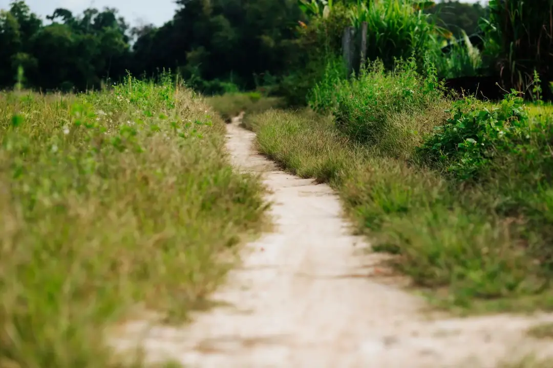
Geophysical plans may reveal routes connecting settlements, field systems, industrial areas or entrances through enclosures. Several overlapping tracks can show how access changed over time. Roads may also continue beyond the survey boundary, allowing archaeologists to place the site within a wider landscape.
Modern tracks, drainage trenches and agricultural vehicle movements can create similar patterns. Surveyors compare anomalies with current maps, historic plans, aerial images and visible ground features before suggesting an archaeological interpretation.
Ground-penetrating radar may provide depth information where a road contains several construction layers. Trial trenches can confirm the materials used, identify resurfacing and recover dating evidence. Together, these methods help explain the route’s development, use and relationship with nearby archaeological features.
Field Boundaries and Former Land Divisions
Geophysical surveys can identify former field boundaries that no longer appear above ground. Boundary ditches often show as long magnetic or low-resistance lines, while banks may survive through changes in soil, compaction or surrounding drainage. Some boundaries form regular field systems, while others follow curved routes shaped by older landscapes. Their position can reveal how people divided farmland, enclosed settlements or managed livestock.
Overlapping lines may represent boundaries created and abandoned during different periods. Historic maps can help distinguish recent field divisions from much older features. However, some boundaries were removed before detailed mapping began and may only be known through geophysics or aerial evidence. Modern drainage, ploughing and geological patterns can resemble boundaries, so interpretation must remain cautious.
The relationship between lines, enclosures, roads and settlements helps specialists assess their likely purpose. Although field boundaries may appear simple, they can provide important information about land ownership, farming, settlement growth and changes in the wider landscape.
Kilns, Furnaces and Hearths
Kilns, furnaces and hearths are often strongly visible during magnetometer surveys because intense heating alters iron minerals within clay and soil. Once heated above certain temperatures, these materials can retain a strong magnetic signal that differs greatly from the surrounding ground.
A kiln or furnace may appear as a compact, intense anomaly, sometimes surrounded by weaker responses from waste, ash or associated working areas. Groups of strong anomalies may indicate pottery production, metalworking, lime burning or another industrial activity. Hearths can be smaller and may prove harder to distinguish from modern burning.

Geophysical survey may reveal the location and general spread of a production site before excavation. This allows trenches to be placed carefully and helps archaeologists avoid unnecessary disturbance to fragile remains.
Modern bonfires, buried metal and burnt rubbish can produce similar magnetic readings. The strength of an anomaly alone does not prove that it is an ancient kiln. Its shape, setting and relationship with other features must be assessed.
Electrical resistance and radar may provide further information where a kiln contains surviving masonry or a substantial structure. Excavation is usually required to confirm the feature, examine its construction and collect samples. Archaeomagnetic dating, charcoal analysis or associated finds may then help establish when the kiln, furnace or hearth was last used.
Planning Archaeological Surveys Early
Early planning gives the project team time to choose the right investigation, obtain access and respond to the findings. Archaeological requirements should be considered during land assessment and initial design rather than immediately before the planning submission.
Contacting the planning authority’s archaeological adviser can clarify whether a desk-based assessment, geophysical survey or trench evaluation is likely. Their response can guide the project budget and programme. Seasonal conditions affect some methods. Crops, long grass, waterlogged ground and very dry soil can reduce access or survey quality. Booking early allows work to take place when conditions are suitable. The results may also influence the design.
Moving a building or drainage feature is easier before layouts, engineering details and contracts have been finalised. Early work helps developers understand whether further investigation, preservation or excavation may be needed. These requirements can then be included in cost plans and construction schedules. A survey should not be commissioned without clear objectives, because unsuitable work may need to be repeated. Professional advice and an agreed written scheme ensure that the results answer the planning authority’s questions and can be used to support a decision.
Burial Sites and Unmarked Graves
Some burial sites and unmarked graves can be identified through geophysical survey, although results vary greatly. Ground-penetrating radar may detect changes caused by grave cuts, coffins, voids or differences in soil layers. Electrical resistance can sometimes identify grave structures or masonry tombs. Magnetometer surveys may detect surrounding ditches, cremation deposits, metal objects or disturbed soil, but individual graves often produce weak responses. Burial mounds that have been flattened may survive as circular ditches visible in survey data.
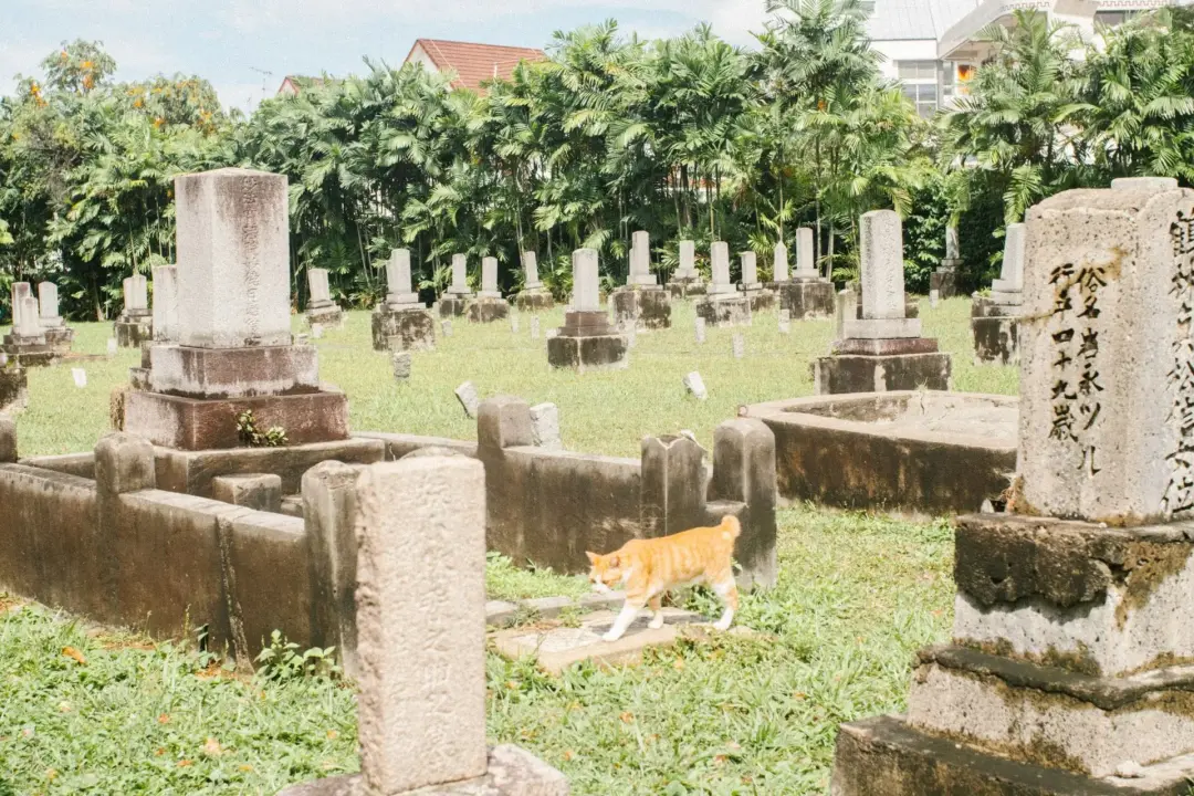
Soil type, grave depth, age and preservation strongly affect detection. A grave filled with soil similar to its surroundings may be invisible. Modern disturbance, tree roots and buried services can also create misleading anomalies.
Geophysical survey should not be presented as proof that every grave has been located. Sensitive sites require careful planning, suitable permissions and respectful working methods.
Where results affect development or legal decisions, further investigation and specialist advice may be required to confirm the nature and extent of possible burials.
Defensive Structures and Fortifications
Defensive structures can include hillfort ditches, ramparts, town walls, castle foundations, military camps and enclosed settlements. Geophysical survey can reveal their buried layout even where surface remains have been flattened by farming, landscaping or later construction. Large defensive ditches often produce strong magnetic or resistance responses because their fills differ from the natural ground.
Parallel ditches may show several defensive phases. Entrances, causeways and internal divisions can also appear within the overall plan. Stone walls and towers may be detected through electrical resistance or ground-penetrating radar. Radar can sometimes show variations in depth and indicate surviving floors, wall foundations or buried chambers. Magnetometer results may reveal associated occupation, burning, roads and industrial activity inside the defended area.
Later demolition, stone removal and modern building can disturb these features. Natural geology may also produce broad anomalies that resemble banks or ditches. Survey results are therefore compared with earthworks, historic maps, aerial images and previous investigations. Understanding the shape and extent of a defensive site can guide its protection and management. It can also show how fortifications developed over several periods. Trial excavation may be required to confirm the construction sequence, date the defences and assess how well the buried remains survive beneath current land use.
Industrial and Agricultural Features
Geophysical surveys can detect features linked to former industry and farming. Industrial remains may include kilns, furnaces, workshops, quarry pits, waste deposits, mine shafts and areas of burning. Agricultural features can include field boundaries, drainage systems, animal enclosures, ridge and furrow, water management and storage pits.
Magnetometer surveys are useful for locating burnt industrial features and iron-rich waste. Resistance and radar can identify foundations, yards and substantial structures. Broad magnetic disturbance may indicate industrial activity, although buried modern material can create similar results.
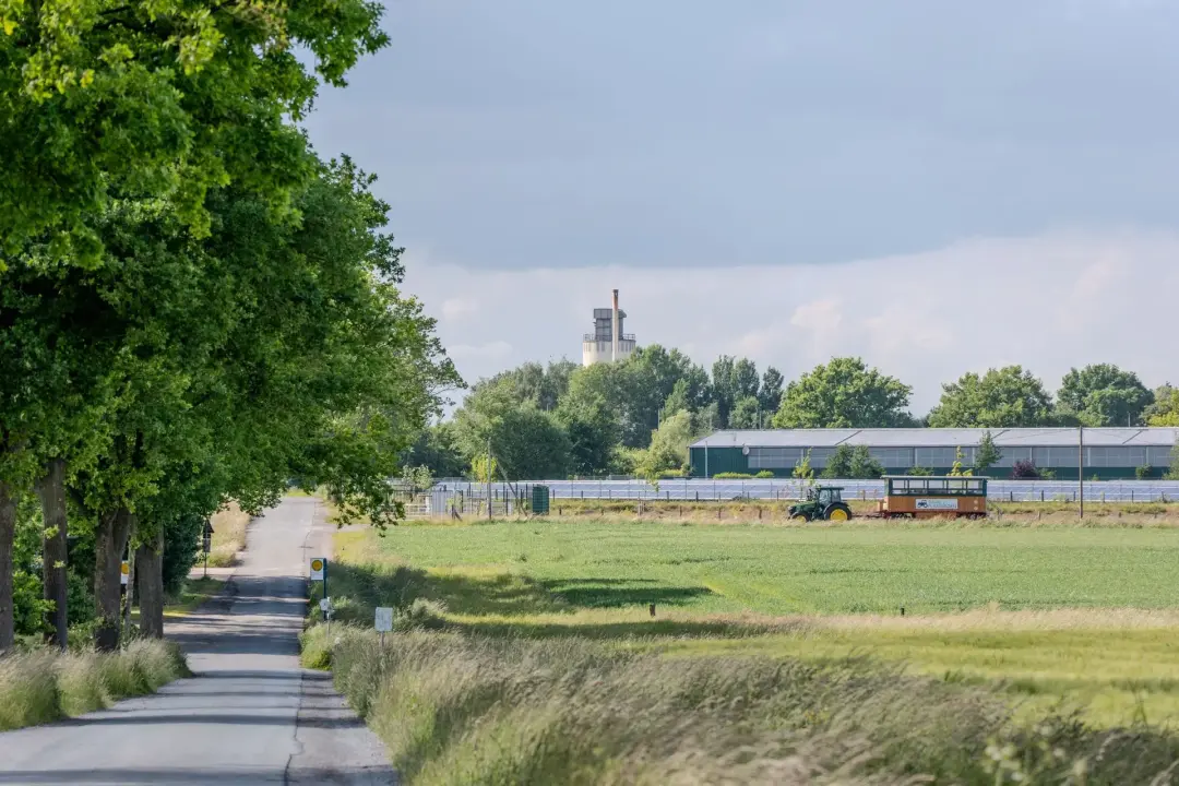
Agricultural features are sometimes subtle. Repeated ploughing may produce parallel lines, while former field ditches can form wider systems. Their arrangement may show how land was divided and managed.
Not every anomaly can be assigned a clear use without excavation. Industrial sites may contain several phases of activity, and recent farming can damage earlier remains.
Survey interpretation considers the site’s historic setting, geology and known industries. Further investigation can then recover material that identifies the processes carried out and the people who worked within the landscape.
Wells, Drains, and Water Channels
Wells, drains and water channels can sometimes be identified because they create strong physical contrasts beneath the ground. A stone-lined well may produce a circular resistance or radar anomaly, while its central shaft might appear as a void or area of disturbed material. Ground-penetrating radar can be useful for locating substantial drains, culverts and buried channels. It may show their depth, direction and relationship with floors or buildings. Electrical resistance can detect stone-lined features and wetter channels, depending on current soil moisture.
Magnetometer survey may reveal filled ditches and channels where their soil differs magnetically from the natural ground. Ceramic, iron or modern pipes can also produce clear responses. Natural streams, geological features and recent drainage often create similar linear patterns. Surveyors therefore examine how anomalies connect with buildings, roads, slopes and known water sources.
Old wells may be dangerous where covers have failed or shafts remain open below a thin surface. Survey findings should inform safe site planning, but geophysical interpretation alone cannot confirm structural stability. Archaeological water features can preserve organic material, including wood, seeds, leather and other evidence that normally decays. Trial investigation may therefore require careful excavation and environmental sampling. Early detection helps protect these deposits and allows suitable safety measures to be planned before development or fieldwork begins.
Evidence of Former Landscapes
Geophysical surveys can reveal evidence of landscapes that have changed or disappeared. Former field systems, settlement boundaries, roads, drainage channels, gardens and areas of quarrying may remain beneath modern fields or open spaces. Some patterns show several periods of land use crossing one another. An early enclosure may be cut by a later road, while old field boundaries may lie beneath more recent ploughing. These relationships help archaeologists understand how the landscape developed.
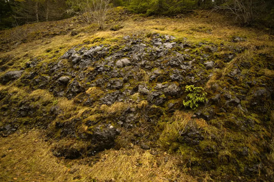
Geological features, former river channels and changes in soil depth may also appear in the data.
Although these are natural, they can explain why people chose particular places for settlement, farming or industry. Geophysical results are often studied with historic maps, aerial photographs, earthwork surveys and environmental evidence. This wider approach prevents individual anomalies from being considered in isolation.
The survey may not date landscape features directly, but their form and relationships can guide further investigation. They can reveal a complex history in places that appear empty or uniform at ground level.
Metal Objects and Areas of Burning
Magnetometers respond strongly to iron and steel, meaning metal objects can produce clear anomalies. Archaeological examples may include ironworking waste, tools, fittings or concentrations linked to industrial activity. However, individual small objects cannot always be identified or located accurately through standard archaeological survey. Modern metal often produces much stronger responses. Fencing, vehicles, buried rubbish, reinforced structures and services can create areas of disturbance that hide weaker archaeological features.
A strong response may therefore indicate contamination rather than an important artefact. Burning can also produce intense magnetic anomalies. Kilns, hearths, furnaces and burnt clay become magnetically enhanced through heat. Areas affected by fire may reveal destroyed buildings, industrial work or repeated domestic activity.
Modern bonfires and burnt waste can appear similar to older features. Interpretation considers the anomaly’s shape, strength, surrounding patterns and known history. Geophysics is not the same as metal detecting. It normally maps variations across the ground rather than identifying separate artefacts.
If the aim is to recover metal objects, a properly planned detecting survey may be required. Excavation can confirm whether a magnetic anomaly represents archaeology, modern waste or natural material. Finds and samples from the feature may then explain what activity took place and provide evidence for its date.
Voids, Cellars and Underground Chambers
Ground-penetrating radar may detect voids, cellars, crypts, tunnels and underground chambers because their boundaries can reflect radar energy strongly. The method can estimate the depth of an anomaly and show its form across a series of horizontal slices. Substantial walls, floors and roof structures may also be identified using radar or electrical resistance. These methods can be useful in historic buildings, churchyards, urban spaces and areas covered by tarmac or concrete.
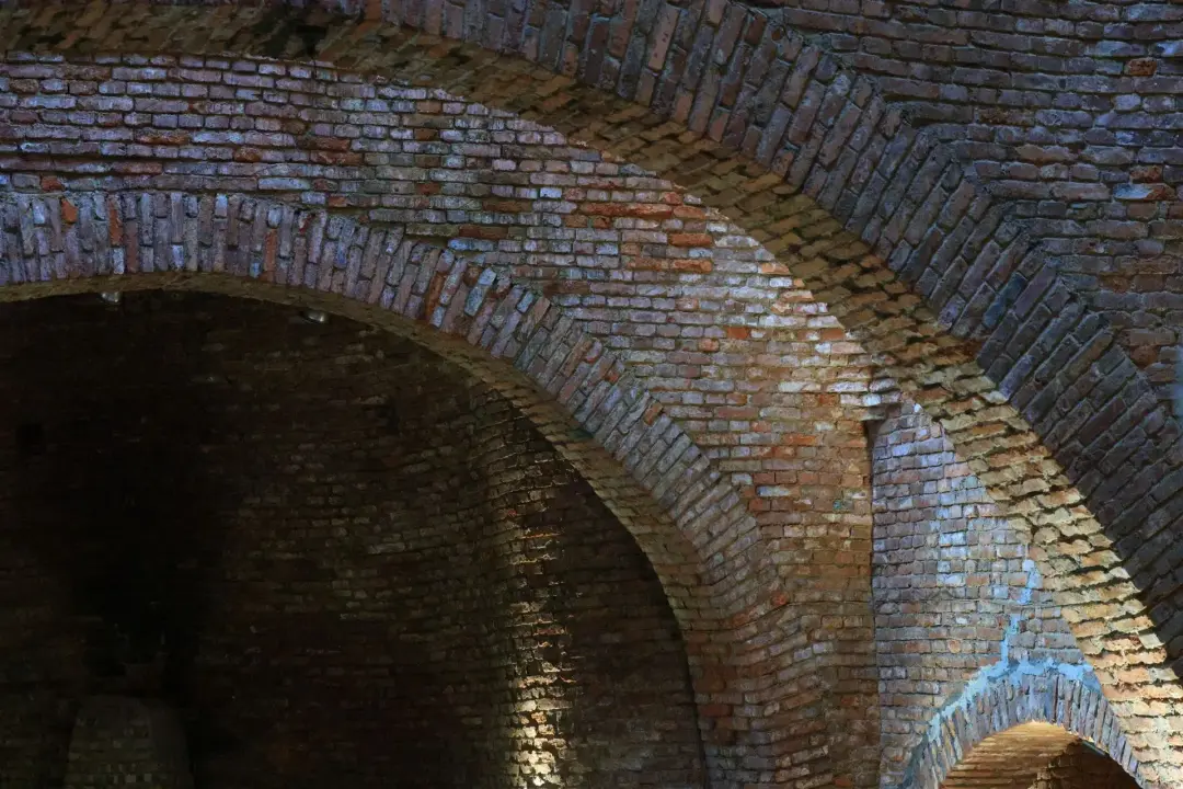
Results depend on the chamber’s size, depth, construction and surrounding material. Clay-rich ground can limit radar penetration, while reinforced concrete, services and rubble may confuse the data.
Geophysical evidence does not confirm that an underground space is safe or accessible. Suspected voids may present collapse risks and should be assessed by suitable structural and archaeological specialists.
Where a chamber is of archaeological interest, further work may involve careful inspection, targeted drilling or excavation. Any investigation must consider structural stability, confined spaces, human remains and the wider significance of the site.
Modern Pipes, Cables and Ground Disturbance
Modern pipes, cables, drains, foundations and disturbed ground commonly appear in archaeological geophysical data. Metal services may produce strong magnetic responses, while plastic pipes can sometimes be identified through their trenches or radar reflections. Drains may show as straight lines that connect buildings, roads or inspection covers.
Recent excavations disturb the natural soil layers and can create anomalies even after the trench has been filled. Landscaping, demolition, quarrying and construction compounds may produce broad areas of mixed or noisy data. Identifying modern features is important because they can be mistaken for archaeology. Their straight form, regular spacing and connection with current infrastructure often help interpretation.
Utility plans and visible surface evidence provide further support. Modern disturbance may also hide archaeological remains. Strong magnetic responses from reinforced concrete, fencing or buried metal can overwhelm weaker features nearby. Radar data may contain repeated reflections caused by dense services.
An archaeological geophysical survey is not normally a replacement for a specialist utility survey. The instruments, spacing and objectives may differ. Suspected services should therefore be confirmed using suitable records and detection methods before excavation. Survey reports usually mark modern anomalies separately from possible archaeology. This helps planners and archaeologists understand where the data is less reliable and where further investigation may need different methods or additional safety controls.
Common Site Conditions That Affect Survey Results
Several site conditions can reduce the clarity or coverage of geophysical survey results. Metal fencing, vehicles, reinforced concrete, services and modern rubbish may create strong magnetic disturbance that hides weaker archaeological features.
Geology and soil type also influence the response. Some soils produce excellent magnetic contrast, while others make ditches and pits difficult to distinguish. Clay-rich or conductive ground may limit the depth of ground-penetrating radar.
Electrical resistance results depend partly on moisture. Very dry or heavily waterlogged soil can reduce differences between archaeological features and surrounding deposits.
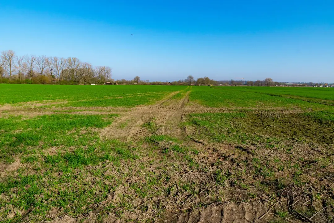
Tall crops, scrub, deep furrows, steep slopes and uneven ground may prevent regular collection. Livestock, standing water and unsafe surfaces can leave gaps in coverage.
Previous construction, quarrying, drainage and landscaping may have disturbed or removed archaeological deposits. They can also create modern patterns that are difficult to separate from older features.
The report should explain these limitations rather than presenting a negative result as proof that nothing survives. In some cases, another method or trial trenching may be required.
A site visit, desk-based research and local geological knowledge help the geophysicist select the most suitable approach and give realistic expectations before fieldwork begins.
Choosing a Professional Archaeological Survey Provider
Choose a provider with suitable experience in archaeological geophysics and planning-led investigation. The team should understand the main survey methods, data processing, interpretation and local authority reporting requirements. Ask whether the contractor can prepare a written scheme of investigation and communicate with the planning authority’s archaeological adviser.
The proposed work should follow the authority’s brief and relevant professional standards. Review examples of similar reports. Plans should be clear, accurately located and supported by careful interpretation. A low-cost survey may offer poor value if the coverage, processing or report does not satisfy planning requirements. The quotation should explain the method, survey area, equipment, reporting, travel and expected programme.
It should also identify possible extra costs caused by poor access, vegetation or repeat visits. Check suitable insurance, health and safety arrangements, staff experience and quality control. Membership of recognised professional bodies can provide useful evidence of standards, although the experience of the people completing and interpreting the work remains important.
A reliable provider should explain the limits of the method and avoid promising that geophysics will find every archaeological feature. Clear advice, agreed objectives and good communication help produce results that planners, archaeologists and the development team can use with confidence.
If you need an archaeological geophysical survey, get in touch with us today! Pre-Construct Geophysics can help you see what's hidden beneath your site before any digging starts. We provide a range of detailed surveys to help identify archaeological features, buried objects, and any changes in the soil or ground surface, without disturbing the site. Our surveys are great for improving your design choices and reducing the risk of delays.