
Resistivity is an important archaeological survey that helps reveal what may be hidden beneath the ground without digging. This article explains how resistivity works, why soil moisture affects the results, and how different readings can point towards buried walls, ditches, floors, foundations, and other features.
What is resistivity?
Resistivity is a way of looking for buried features without digging. It's a survey method that measures how strongly the ground resists an electrical current. Different buried materials hold and pass moisture in different ways, so they give out different readings, which can help archaeologists find walls, ditches, pits, floors, roads, graves, and other remains that are hidden below the surface.
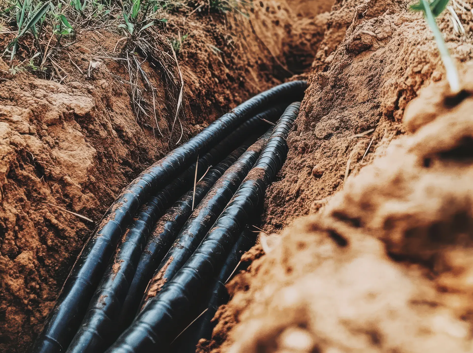
During a resistivity survey, small probes are placed into the ground, and a very low electrical current is passed between them. The equipment then records how easily the current moves through the soil. Wet soil usually lets electricity pass better, so it has a lower resistance, whereas dry stone, brick, compacted surfaces, or wall foundations often resist the current more, so they may have a higher resistance.
Resistivity is commonly used before excavation because it helps teams decide where to dig. This can save time, reduce the risk of damage to important remains, and help archaeologists plan out their site more carefully. However, resistivity doesn't provide perfect images, and the results can be affected by soil type, weather, drainage, stones, tree roots, and modern services. In simple terms, resistivity helps archaeologists “see” patterns beneath the ground by measuring electrical differences in the soil.
Why resistivity matters in archaeology
Resistivity matters because it helps archaeologists understand what may be hidden under the ground before any digging begins. This makes it a valuable method for finding possible remains while protecting the site as much as possible.
Different materials and soil conditions create different readings. A buried stone wall, hard floor, or compacted surface may provide a high resistance reading because it's often drier and unable to carry much electricity. On the other hand, a filled-in ditch, pit, or hollow may provide a lower resistance reading because it can hold more moisture. These changes can reveal patterns that can point to past human activity.
One of the main reasons resistivity is important is that it helps guide excavation. Instead of digging up large areas without any clear evidence, archaeologists can focus on places where the readings suggest something interesting is there. Resistivity is also useful for recording sites that cannot be fully excavated. Some sites are protected, built over, or too sensitive to dig up. In these cases, a resistivity survey can provide useful information about any potential buried features and help archaeologists compare one part of a site with another.

How resistivity surveys work
Resistivity surveys are usually carried out before excavation or as part of a wider site investigation. The survey area is often divided into a grid, such as squares or rectangles, so that the readings can be recorded in an organised way.
A surveyor will then place metal probes into the ground at regular points, and these probes will send a very small electrical current through the soil and record the resistance. The readings are then collected across the whole grid and later processed on a computer to produce a plan (which is often shown as a shaded image or map).
Areas of high and low resistance can then be compared with the surrounding ground. High resistance can suggest that walls, floors, roads, or dry foundations are present, whereas low resistance can suggest there are ditches, pits, drains, or softer-filled ground.
What can archaeologists find underground?
Resistivity can reveal changes in the ground that have been caused by past human activity. Stone, brick, and compacted foundations often give out high resistance readings because they are drier than the surrounding soil, and these readings can help show the layout of old buildings, farmsteads, villas, churches, or boundary walls.
Resistivity surveys can also help find ditches, pits, and hollows, which often have a lower resistance reading because they can be filled with softer, wetter soil. This can help identify old field boundaries, defensive ditches, settlement edges, or waste pits. Archaeologists can also detect roads, paths, floors, yards, drains, and buried surfaces, since these features can appear as clear lines, shapes, or blocks in the survey results.
Detecting walls, ditches and buried structures
Resistivity surveys are often used on fields, gardens, historic sites, and areas where excavation needs to be limited. The survey measures how strongly the ground resists a small electrical current, which can help show changes below the surface that may be linked to past buildings, boundaries, or land use.
Buried walls and stone structures often show up as areas of high resistivity. This is because stone, brick, rubble, and compacted foundations are usually drier than the soil around them, and they don't retain moisture the same way as loose soil does, so the electrical current cannot pass through them as easily. As a result, these features can show up as clear lines or blocks on the survey results, which can help archaeologists identify the shape of old buildings, farmsteads, roads, yards, churches, or boundary walls.
Ditches often give a different reading. Many old ditches have been filled up over time with softer, wetter soil, and because this soil can retain more water, it usually allows electricity to pass through it easily. This means that ditches may show up as low resistivity areas, which can then help archaeologists locate old field boundaries, drainage channels, defensive ditches, or settlement edges.
How soil moisture affects results
During a resistivity survey, a small electrical current is sent through the soil using probes to measure how strongly the ground resists that current. Moist soil contains water and dissolved minerals, which allow the current to move through it easily, and as a result, damp areas often produce lower resistance readings.
This is important because many buried archaeological features affect how much moisture the ground holds. A filled-in ditch, pit, or hollow may contain loose soil that traps more water than the surrounding ground, which may appear as low-resistivity areas. On the other hand, buried stone walls, brick, rubble, or floors often hold less water since they can block or reduce the movement of moisture (making them appear as high resistivity areas).
Heavy rain can make some differences in the soil harder to see, and very dry weather can make the ground too resistant (which can also reduce the amount of detail the survey records). Clay, sand, chalk, and peat can also respond differently to moisture, which is why archaeologists consider the soil type, drainage, recent rainfall, and season before planning and interpreting resistivity surveys.
Equipment used in resistivity surveys
The main item used in a resistivity survey is a resistivity meter. This records the readings that are taken during the survey and stores the data for later processing.
Metal probes are also used, and they are pushed into the ground so the current can pass through the soil. Some probes send the current, while others measure the response. A common setup uses four probes that are spaced out at fixed distances in order to provide steady and useful readings.
Many survey teams also use a frame or a mobile probe system so that the surveyor can move across the site and keep the probe spacing consistent. It also makes the work quicker and more accurate, especially on larger fields or historic landscapes.
Benefits of using resistivity in archaeology
Resistivity is a non-invasive survey method, which means it can gather useful information without disturbing the ground. One key benefit of this survey method is that it can help locate buried features such as walls, floors, roads, paths, ditches, pits, and foundations. These features often affect how moisture moves through the soil, which changes the electrical readings.
Resistivity also helps archaeologists plan out their excavations more carefully. Instead of simply digging up large areas, they can focus on specific places where buried remains may be present. Another benefit is that the results can be turned into clear maps. These maps can show patterns across the site and can help archaeology teams reveal the shape of buried buildings, boundaries, and land use.
Limits of resistivity surveys
Although resistivity surveys are useful, they do have their limits, and one of their main limitations is the weather. Rain, droughts, frost, and waterlogged ground can all affect how electricity moves through the soil. Because resistivity depends strongly on moisture, the survey's results can change from one season to another.
Clay, chalk, sand, peat, and stony ground can also produce different readings. In some places, natural changes in the soil may look similar to archaeological features, which can make the results harder to understand. Resistivity surveys are usually better at finding features that are fairly close to the surface, so any remains that are hidden deep underground may not show up as clearly.
Resistivity surveys also need good ground contact. Hard, dry, paved, frozen, or overgrown areas can all make it difficult to place the probes properly, which can slow down the survey or reduce the survey's accuracy.
Resistivity compared with other survey methods
Resistivity surveys are one of several geophysical methods that are used in archaeology. They are often compared with magnetometry, ground-penetrating radar, and electromagnetic surveys. Each method measures the ground in a different way, so each one is better suited to certain site conditions and feature types.
Resistivity is particularly useful for finding stone walls, brick foundations, compacted floors, roads, and dry buried surfaces. These features often give out high resistance readings because they hold less moisture than the surrounding soil. On the other hand, magnetometry is used to measure small changes in the Earth’s magnetic field, and it's good for finding fired materials, hearths, kilns, ditches, pits, and some settlement remains. However, it can be affected by modern metal, fences, and magnetic geology.
Ground-penetrating radar surveys are useful on hard surfaces, urban sites, and places where buried walls, voids, or floors may exist. However, it can be slower, more expensive, and less effective if wet clay soils are present. Electromagnetic surveys can also measure soil changes without placing probes in the ground, which can be helpful for certain sites. However, the results may be harder to interpret. Overall, resistivity is valued because it's clear, controlled, and great at detecting buried masonry.

Examples of resistivity in archaeological sites
The most common examples of resistivity in archaeological sites include buried walls, old foundations, ditches, roads, floors, and pits. These features change the way moisture is held in the ground, which affects how easily an electrical current can pass through the soil.
Stone walls and brick foundations often appear as high resistivity areas because they are often drier and harder than the surrounding soil. This can help archaeologists find the remains of Roman villas, medieval buildings, churches, farm buildings, and boundary walls.
The readings may show straight lines, corners, or block-like shapes, which can help reveal the layout of a buried structure. Old roads, yard surfaces, and floors can also provide high resistivity readings, since they may have been made from stone, gravel, or packed material, which holds less moisture than loose soil.
Why resistivity helps protect historic sites
Resistivity helps protect historic sites because it allows archaeologists to study buried remains without excavating the ground. This is important because excavation can disturb or damage archaeology, even when it's carried out safely. By using resistivity first, archaeology teams can learn more about a site while keeping the ground largely untouched. Instead of opening up large trenches, archaeologists can focus on smaller areas where the results suggest that important remains are present. This saves time and helps keep more of the site preserved for the future.
Pre-Construct Geophysics provides professional resistivity surveys for archaeological sites across the UK. We use specialist equipment to locate buried walls, ditches, foundations, and other hidden features without needing to excavate the area.