
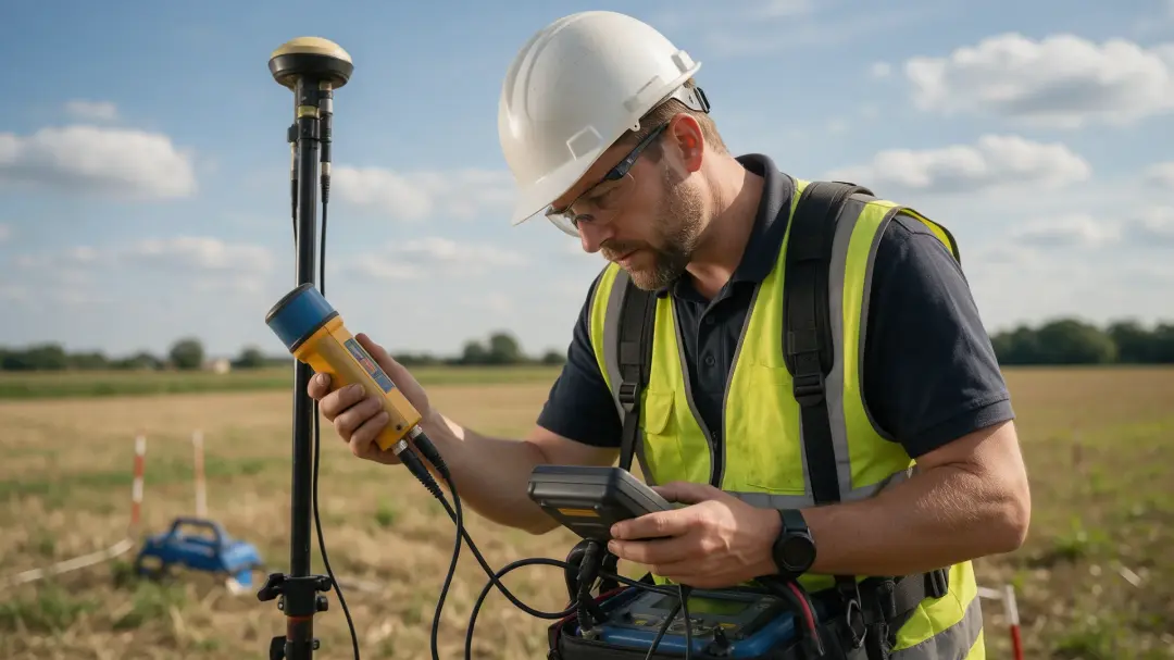
Geophysical surveyors in mineral exploration measure contrasts that can reveal geological structures, alteration and possible mineralised targets. They help narrow the search area and plan follow-up sampling or drilling. A geophysical anomaly is an exploration clue, not proof of an economically recoverable ore deposit.
Define the Geological Target First
Mineral exploration begins with a deposit model: the host rocks, structures and physical properties expected for the commodity being sought. Different deposits require different measurements. A dense body, a conductive sulphide system and an alteration zone that destroys magnetite may produce contrasting signals.
The surveyor works with geologists to identify which properties should differ from the surroundings. This prevents a method being selected simply because it produces attractive maps or has worked elsewhere. A useful survey tests a geological hypothesis and identifies where the available data support it, contradict it or leave it uncertain.
Magnetic Surveys Map More Than Ore
Magnetic measurements can help locate contacts, faults, intrusive bodies and changes in magnetic mineral content. These geological patterns may control mineralisation even where the ore itself has little magnetic response. Susceptibility measurements on representative samples can help connect an observed anomaly with plausible rock properties.
A magnetic high does not automatically mark valuable mineralisation. An unmineralised magnetite-bearing rock may produce a strong response, while alteration associated with an interesting target may reduce magnetism. Interpretation should distinguish the mapped physical contrast from the geological and economic conclusions that need other evidence.
Electrical and Electromagnetic Targets
Electromagnetic methods investigate conductive material, while resistivity and induced polarisation can examine electrical conduction and charge-storage behaviour. Some sulphide systems are suitable targets, but graphite, clay and saline groundwater can also produce electrical anomalies.
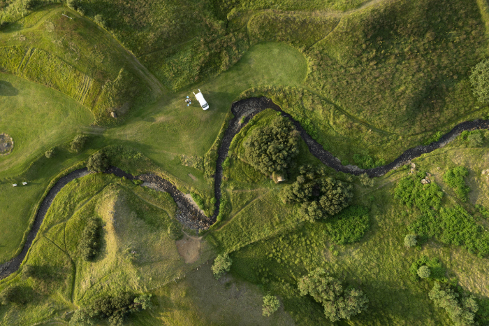
Disseminated sulphides may respond differently from a connected massive sulphide body. A survey design must consider mineral texture, host conductivity and expected depth. Combining observations can narrow the explanations, yet it does not eliminate the need for mineralogical sampling. An electrical target should be ranked using its geological setting rather than conductivity alone.
Gravity and Seismic Information
Gravity surveying investigates density differences and may help define bodies or basin structures that magnetic measurements cannot resolve. Its interpretation needs careful control of position, elevation and terrain because changes unrelated to the target also affect the measurement.
Seismic methods can investigate structures through wave propagation and reflection, particularly where the scale and budget justify them. Neither method identifies ore grade directly. A density or velocity model helps describe the geological setting and possible target geometry, which must then be checked against field geology and drilling.
The 2026 Minerals Outlook Gives the Wider Context
The IEA’s Global Critical Minerals Outlook 2026 projects copper demand adding about seven million tonnes by 2040. In its stated-policy scenario, announced projects imply a copper supply gap of approximately 25% against 2035 primary supply requirements. These are scenario projections, not a prediction that every exploration project will succeed. Source: IEA, 2026.
Such forecasts explain interest in finding and developing resources, but they do not determine the quality of a local target. Discovery, grade, recoverability, infrastructure and project economics remain separate questions. Geophysics contributes to the discovery and geological assessment stages rather than demonstrating market viability.
Move from Regional Reconnaissance to Detailed Testing
An exploration programme may begin with existing airborne or regional data to identify broad structures. Selected areas then receive closer ground measurements. The scale changes because a regional dataset suitable for tracing a contact may not resolve a narrow target needed for drill planning.

BGS MineralsUK identifies magnetic, electromagnetic, gravity and other geophysical information among the tools available to mineral exploration, alongside geology and geochemistry. Source: British Geological Survey exploration techniques. The strongest target ranking combines these datasets and records how each supports the proposed interpretation.
Drilling Tests the Geophysical Explanation
A modelled anomaly can have several possible sources. Drilling provides direct information about lithology, structure and mineral content, while assays establish composition. Measurements of density, susceptibility or conductivity on recovered material can test whether the proposed source explains the original observations.
A target that disappoints is still informative if the programme updates its model. The team may discover an unexpected conductive unit or different structural geometry. Recording that result avoids repeatedly pursuing the same misleading signature and helps refine subsequent survey lines and exploration priorities.
An Anomaly Is Not a Mineral Resource or Reserve
A geophysical target is an area worth testing because its physical response and setting are interesting. A mineral resource requires a geological assessment of material, including evidence about quantity, grade and continuity. A reserve involves further evaluation of what can be extracted under the relevant reporting framework and practical conditions. The terms represent different levels of investigation.
A survey contractor should therefore avoid describing an untested anomaly as proven ore. Even a drill intersection containing the target mineral does not establish the continuity or economics of an entire deposit. Exploration needs a planned sequence of testing, data review and qualified assessment. Reports should state what was measured and which geological interpretation is proposed, leaving resource and reserve conclusions to the appropriate evidence and expertise. This precision makes the geophysical work more useful to the exploration team because it preserves the difference between a promising hypothesis and a demonstrated body of mineralisation.
Distinguish Exploration Science from the Service Offered
This article explains the wider profession’s role in mineral exploration. It does not claim that Pre-Construct Geophysics offers every exploration method described. The website’s stated focus includes archaeological geophysical consultancy and investigations using gradiometry, susceptibility and resistivity.
Before commissioning work, confirm the contractor’s relevant experience, equipment and interpretation capability for the deposit and terrain. Share the commodity target, existing data, anticipated depth and geological model. The practical next step is a discussion of scope, including whether specialist mineral-exploration expertise is required.
Summary
Exploration geophysics helps map geological controls and select targets for direct testing. Magnetic, electrical, gravity and seismic contrasts provide different evidence, while sampling and drilling establish what an anomaly represents. Mineral demand strengthens the reason to explore, but it cannot turn a physical response into a proven resource.
Explore Pre-Construct Geophysics’s geophysical surveying information and discuss the investigation you need, including any specialist exploration requirements.
Geophysical Surveyor