
Common Challenges Faced by Geophysical Surveyors
- Posted by:
- Admin
- Tags:
- geophysical surveyors,site investigation
- Posted date:
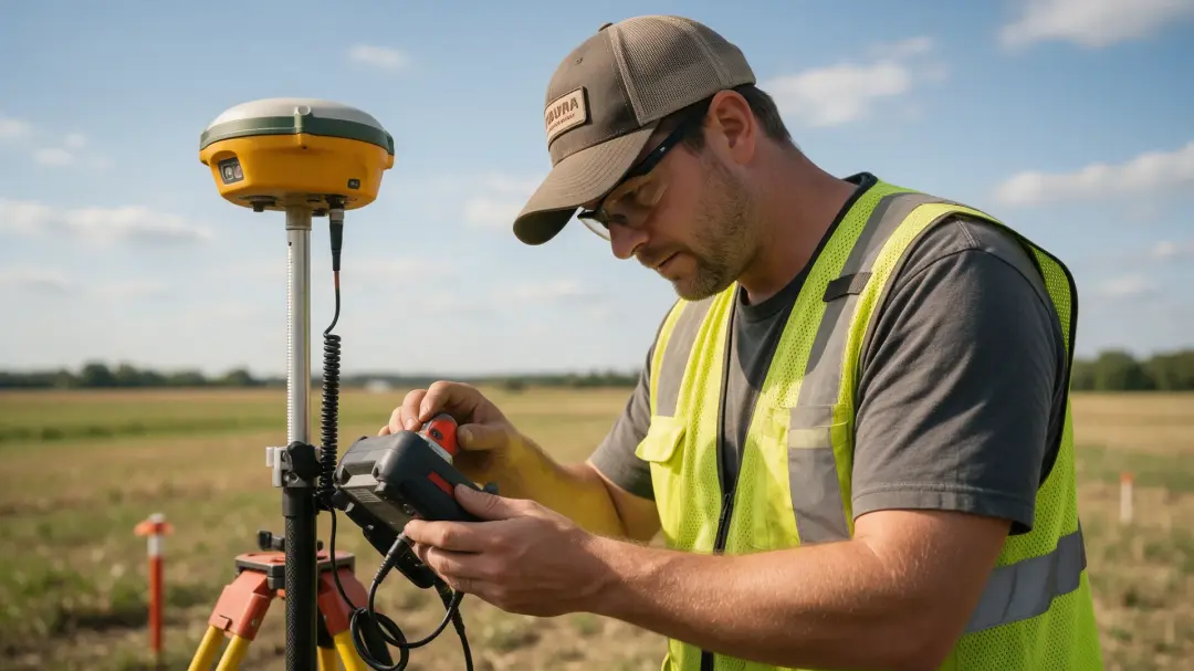
Common challenges faced by geophysical surveyors include weak target contrast, interference, difficult access and ambiguous interpretation. Good practice addresses these before and during fieldwork, then explains the remaining uncertainty in the report so a client can make an informed investigation decision. Geophysical methods detect differences in physical properties. A buried feature can remain undetected if its response closely matches...
Posted by: Admin on: Read More
Geophysical Surveyors in Mineral Exploration
- Posted by:
- Admin
- Tags:
- geophysical surveyors,site investigation
- Posted date:
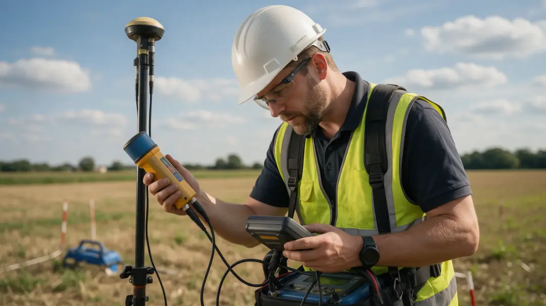
Geophysical surveyors in mineral exploration measure contrasts that can reveal geological structures, alteration and possible mineralised targets. They help narrow the search area and plan follow-up sampling or drilling. A geophysical anomaly is an exploration clue, not proof of an economically recoverable ore deposit. Mineral exploration begins with a deposit model: the host rocks, structures and physical properties expected for the commodity...
Posted by: Admin on: Read More
The Role of Geophysical Surveyors in Construction
- Posted by:
- Admin
- Tags:
- geophysical surveyors,site investigation
- Posted date:
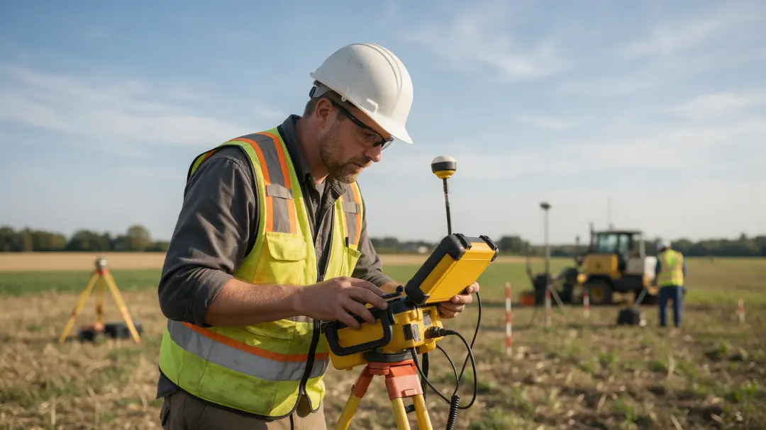
Geophysical surveyors help construction teams investigate buried features and changes in ground conditions before those uncertainties become design or excavation problems. Their role is to select suitable measurements, interpret the results and connect the evidence with an investigation plan that engineers and project managers can use. A useful construction survey begins with a question: where might a buried obstruction lie, does a proposed...
Posted by: Admin on: Read More
The Physics Behind Electrical Resistivity
- Posted by:
- Admin
- Tags:
- resistivity,electrical properties
- Posted date:
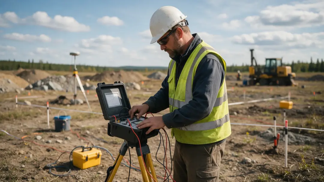
The physics behind electrical resistivity starts with how electric fields drive charge through a material. In geophysics, current and voltage measurements reveal the combined electrical response of soil, rock and pore fluids. Electrode geometry and modelling turn that response into information about the subsurface. Resistance describes opposition to current through a particular object or path and is measured in ohms. Resistivity describes...
Posted by: Admin on: Read More
How Moisture and Salinity Affect Soil Resistivity
- Posted by:
- Admin
- Tags:
- resistivity,electrical properties
- Posted date:
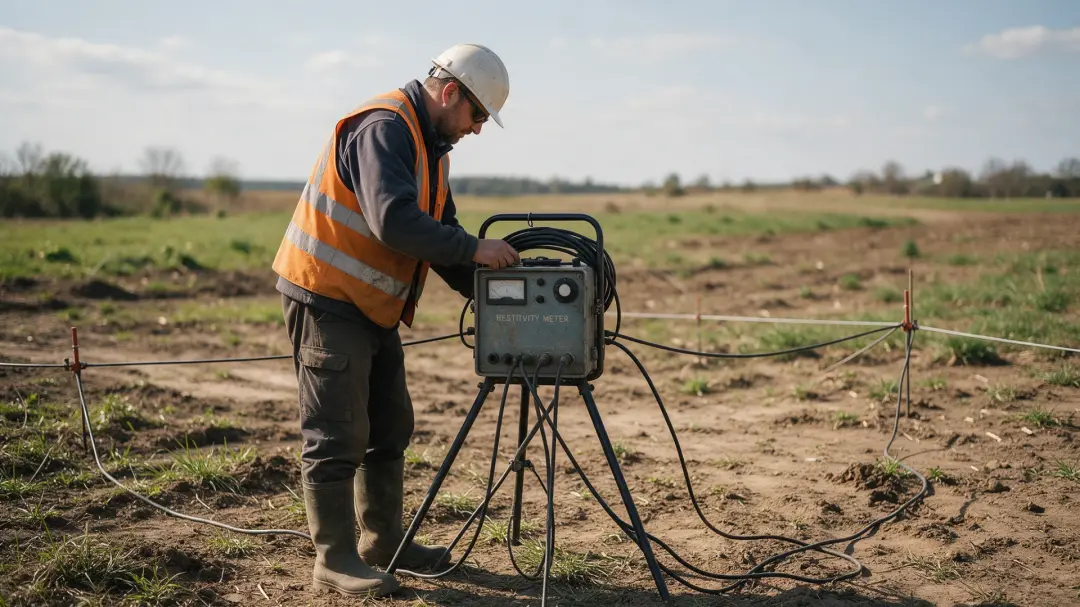
Moisture and salinity affect soil resistivity by changing the continuity and conductivity of pore-water pathways. Wetter soil often has lower resistivity, and dissolved salts can lower it further. The difficulty is distinguishing those effects from changes in texture, temperature and soil structure. Current in many soils travels mainly through water-filled pores. As soil wets, isolated films and pockets can become connected, allowing charge...
Posted by: Admin on: Read More
What Rock Resistivity Reveals About Groundwater
- Posted by:
- Admin
- Tags:
- resistivity,electrical properties
- Posted date:
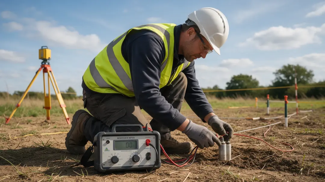
Rock resistivity can reveal where subsurface conditions are consistent with water-bearing formations, how those formations change and whether saline water may be present. It cannot confirm a productive freshwater supply by itself: geology, water chemistry and borehole evidence are needed to interpret the electrical pattern. Many common rock-forming minerals conduct poorly, while dissolved ions allow pore water to carry current. A rock’s...
Posted by: Admin on: Read More
Using Magnetic Susceptibility to Study Rocks and Sediments
- Posted by:
- Admin
- Tags:
- magnetic susceptibility,magnetic properties
- Posted date:
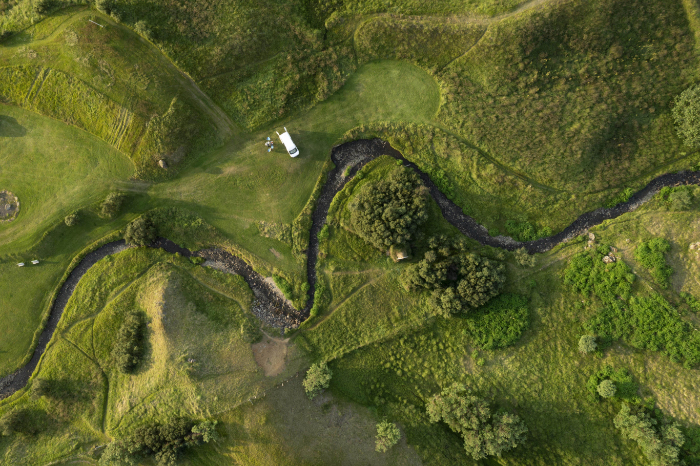
Using magnetic susceptibility to study rocks and sediments helps researchers trace mineral changes, compare layers and investigate how deposits formed. It is a rapid screening measurement whose meaning is checked against mineralogy, sediment description and the history of the material. Rocks and sediments contain varying mixtures of weakly and strongly magnetic minerals. Susceptibility provides a repeatable way to compare these mixtures...
Posted by: Admin on: Read More
What Magnetic Susceptibility Surveys Reveal
- Posted by:
- Admin
- Tags:
- magnetic susceptibility,magnetic properties
- Posted date:
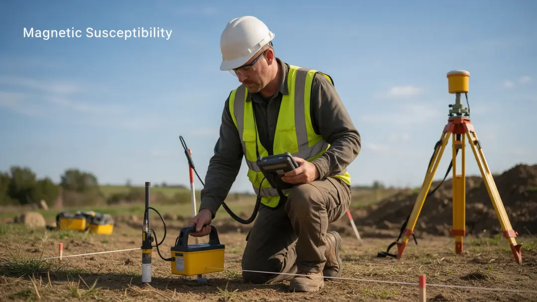
Magnetic susceptibility surveys reveal differences in how readily near-surface soils become magnetised. Their archaeological value lies in identifying broad zones of enhancement that may reflect former occupation, burning or industrial activity, while helping surveyors decide where detailed investigation is worthwhile. The strongest interpretation usually comes from a spatial pattern rather than a single measurement. A coherent zone of...
Posted by: Admin on: Read More
The Physics Behind Magnetic Susceptibility
- Posted by:
- Admin
- Tags:
- magnetic susceptibility,magnetic properties
- Posted date:
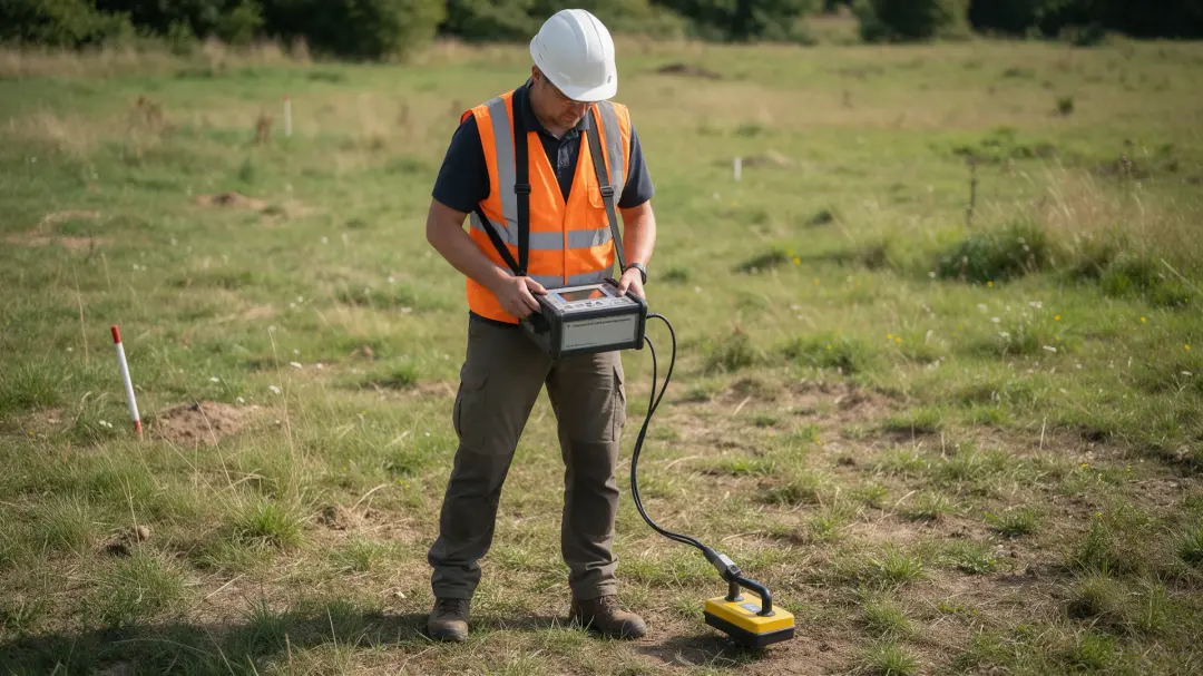
Magnetic susceptibility describes how strongly a material becomes magnetised in an applied field. Understanding the physics behind magnetic susceptibility explains why iron minerals, grain size and temperature affect measurements, and why a soil reading is more than a simple measure of its iron content. In the simplest linear model, magnetisation M equals susceptibility κ multiplied by field strength H: M = κH. Magnetisation expresses...
Posted by: Admin on: Read More
What Can an Archaeological Geophysical Survey Detect
- Posted by:
- Admin
- Tags:
- Archaeological Geophysical Survey,Geophysical Surveys,Site Conditions,Survey Provider
- Posted date:

Wondering What Can an Archaeological Geophysical Survey Detect? Discover how non-intrusive methods reveal buried features like walls, ditches, and artefacts, helping preserve historic sites. An archaeological geophysical survey is a non-intrusive investigation used to search for possible buried remains without excavating the ground. Specialists collect measurements across a site using equipment that responds to magnetic, electrical or physical...
Posted by: Admin on: Read More
Archaeological Geophysical Surveys for Planning Applications
- Posted by:
- Admin
- Tags:
- Archaeological Geophysical Surveys,Planning Applications,Archaeological Surveys,Geophysical Survey
- Posted date:
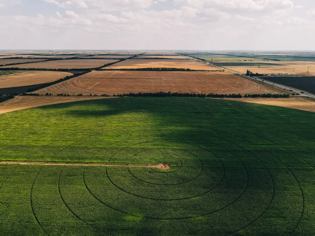
Archaeological geophysical surveys for planning applications help identify hidden buried remains non-intrusively, guiding development decisions and protecting historic sites efficiently. Archaeological geophysical surveys are non-intrusive investigations used to identify possible buried remains without excavating the ground. Specialists collect measurements across a site using instruments that respond to changes in magnetic properties,...
Posted by: Admin on: Read More
How Gradiometry is used in building planning
- Posted by:
- Admin
- Tags:
- gradiometry,geophysical surveys,archaeological surveys,ground condition surveys
- Posted date:

Gradiometry plays an important role in building planning by helping identify possible buried archaeology before construction begins. This article explains how gradiometry surveys work, what they can find, and why they are useful for developers, planners, and heritage specialists. Gradiometry is a way of measuring small changes in the Earth’s magnetic field across a piece of land. A gradiometer uses two sensors that are set...
Posted by: Admin on: Read More
Uses of geophysical surveys on historical sites
- Posted by:
- Admin
- Tags:
- geophysical surveys,archaeological surveys,ground mapping,geophysical and resistivity surveys
- Posted date:

Geophysical surveys are a useful way to explore historic sites without excavating the ground. This article explains how different survey methods can help archaeologists find buried walls, foundations, ditches, pits, roads, graves, and settlement layouts. It also looks at how these surveys help with planning excavation work, site management, and heritage protection across the UK. Geophysical surveys are used to study what is below...
Posted by: Admin on: Read More
How is resistivity used in archaeology
- Posted by:
- Admin
- Tags:
- resistivity surveys,archaeology surveys,geophysical landscaping,guide to resistivity
- Posted date:

Resistivity is an important archaeological survey that helps reveal what may be hidden beneath the ground without digging. This article explains how resistivity works, why soil moisture affects the results, and how different readings can point towards buried walls, ditches, floors, foundations, and other features. Resistivity is a way of looking for buried features without digging. It's a survey method that measures how strongly the...
Posted by: Admin on: Read More
Geophysical Surveyors for Solar Farms
- Posted by:
- Admin
- Tags:
- Geophysical Survey,Solar Farms,Solar Panels,Geophysical Surveyors
- Posted date:

Trust experienced Geophysical Surveyors for Solar Farms to identify underground hazards early, optimise design, and ensure smooth project delivery across the UK. A geophysical survey for solar farms is a detailed study of the ground before any panels, cables or access tracks are built. Surveyors use non invasive equipment to scan below the surface and map changes in soil, rock and groundwater. Techniques can include ground penetrating radar,...
Posted by: Admin on: Read More
Difference Between Geotechnical And Geophysical Surveys
- Posted by:
- Admin
- Tags:
- Posted date:

We explore the difference between a geotechnical and geophysical survey? From soil composition analysis to detecting subsurface anomalies, we break down the differences, applications, and benefits of geotechnical and geophysical surveys. Geotechnical and geophysical surveys are two distinct types of methods used to obtain information about the earth's surface and subsurface. The main difference between a geotechnical and a geophysical...
Posted by: Admin on: Read More
What Are The Main Geophysical Methods
- Posted by:
- Admin
- Tags:
- Geophysical Methods,Seismic Surveying,Electrical Surveying,Magnetic Surveying,Ground Penetrating Radar
- Posted date:

What are the main geophysical methods? Uncover the tools and techniques used to explore the Earth's subsurface, from seismic surveys to electromagnetic methods. Whether you're a geoscience enthusiast or a professional in the field, our in-depth analysis provides valuable insights into the applications, advantages, and limitations of each geophysical method. The exploration of the earth's subsurface layers is enabled via...
Posted by: Admin on: Read More
What Does A Geophysical Survey Do
- Posted by:
- Admin
- Tags:
- Posted date:
Geophysical surveys are integral to determining the extent of new archaeological sites and help us to understand what lies hidden beneath the soil on a physical level. A geophysical survey gives us a window underground, allowing us to assess the scale of an archaeological site in a non-intrusive way. We can conduct them quickly without disturbing the ground, making them ideal for large areas where it would be too time-consuming and expensive to excavate. The...
Posted by: Admin on: Read More