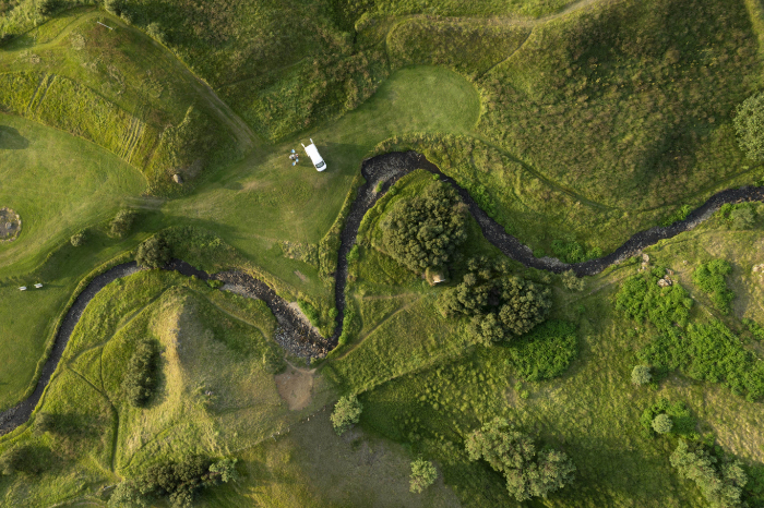
What Is An Archaeological Geophysical Survey?
Archaeological geophysical surveys are non-invasive inspections that help uncover what lies below the ground without digging. Our surveyors use specialist equipment to map out changes in the soil that may point to walls, ditches, pits, graves, or old roads. Our common survey methods include magnetometry and ground penetrating radars, which collect data across a site and turn it into clear images and plans.
We aim to help our clients reduce risks and continue with their building works with fewer delays and expensive surprises. Our surveys can also be used to help you with any planning applications, targeted excavations, and protecting heritage sites by reducing unnecessary disturbances.
Types Of Geophysical Surveys We Offer
At Pre-Construct Geophysics, we provide several types of geophysical surveys across the UK, including fluxgate gradiometer surveys, resistivity surveys, and topsoil magnetic susceptibility surveys. We also provide ground penetrating radar (GPR) and magnetometer surveys, and we can carry out seismic surveys when we need to.
We provide these services so that our clients can understand what may be buried on their site without needing to dig first. This can result in fewer surprises, safer design plans, and better planning processes for excavation and construction work. Our surveys can also be used to spot old pipework, hidden voids, and weak ground, so that you can plan around them safely.
Our Archaeological Geophysical Survey Services
We provide a range of archaeological geophysical surveys to give our clients a clear picture of what's under their land. We provide everything from magnetometer surveys to gradiometer surveys to uncover hidden building work and weak soil or landscapes. By using more than one method, we can reduce the risk of missing hidden features, improve our results, and help you plan your excavation work in the right places. Our surveys are ideal for cutting your overall costs, reducing delays, and limiting unnecessary disturbances.

Magnetometer Surveys:
A magnetometer survey measures the small changes in the Earth’s magnetic field across a site. Buried ditches, pits, kilns, hearths, brickwork, and even disturbed ground can send out different magnetic signals compared to the surrounding soil.
Our surveyors walk in set lines to collect readings and turn them into a clear map that highlights any possible archaeological remains. Our magnetometer surveys are quick, non-invasive, and cost-effective for covering large areas. Our results can help guide your excavation project, reduce risks and help you avoid delays.
Ground Penetrating Radar Surveys (GPR):
A ground penetrating radar survey is a non-invasive scan that uses radio waves to see what's underneath the ground. A small antenna is moved across the ground that sends pulses into the ground and records the echoes that bounce back from changes in the soil, stone, and voids. The data from this survey can show the depth and shape of any buried walls, floors and graves.
We can also apply our GPR surveys on hard surfaces like tarmac and concrete. Our GPR surveys can help you plan any building work safely before you start digging, and they can help us protect heritage remains by avoiding large excavation projects.
Resistivity Surveys:
A resistivity survey measures how easily an electrical current passes through the ground. Damp soil usually conducts electricity better than dry soil, so buried features often create different electrical resistances. For example, stone walls and rubble often appear as a higher resistance, while ditches and pits can appear as a lower resistance because they retain more moisture. We take these readings in a grid and turn our findings into a map of likely remains.
Metal Detection Surveys:
A metal detection survey is a planned search of land using metal detectors to find and record buried metal objects. Our surveyors will work in set lines or grids to mark, log and map our findings. Our metal detection surveys are great for locating coins, tools, and other small items, as well as identifying hazards such as scrap metal, nails and wire. Our metal detection surveys can improve your site's safety and find artefacts that might otherwise be missed.
Desk-Based Archaeological Assessments:
Our desk-based archaeological assessment is a study of your site’s history and archaeology using existing information, without digging. We use a range of sources, such as old maps, aerial photos, local records, historic environment data, and past reports, to understand what heritage features may be present on your site and how a planned project could affect them.
Our assessments are ideal for helping clients understand the risks of their building project and helping them meet the local planning requirements. We can also advise on whether further surveys are needed and how to preserve any important remains during your project.
Planning And Development Surveys:
A planning and development survey is a set of archaeological checks that are carried out before any building work starts. This survey looks at whether a site may contain important remains and what extra work, if any, is needed. This can include a desk-based study, a site walkover, geophysical surveys, and small test trenches.
After this survey is completed, we'll write down our results in a clear report for planners and project teams. These surveys are perfect for helping clients meet planning conditions, reduce delays, and protect heritage sites.

Surveys For Planning Applications
Pre-Construct Geophysics’s archaeological geophysical surveys give planners and developers clear evidence of what may be buried on their site, without the need for digging or excavation work. Our surveys are ideal for planning applications since we provide clear results that assess the site and advise on any follow-up work.
Our survey results can highlight any trench locations, reduce expensive surprises during groundworks, and help you protect important remains by limiting ground disturbances. Since our work is quick and non-intrusive, we can help you keep your projects moving and reduce delays.
Construction And Development Site Surveys
At Pre-Construct Geophysics, our construction and development surveys give clients vital insight into what lies beneath their landscape before their project starts. Our surveys can reveal buried structures and archaeological features without digging, and we provide clear data that can be used in reports for local authorities.
By reducing your site's risks and improving your understanding of the ground early on, our clients can plan their projects more effectively and protect any heritage assets. Our surveys are quick, non-intrusive, and they can cover large areas, making them valuable for construction sites and large development projects.

Book A Geophysical Survey
If you need an archaeological geophysical survey, get in touch with us today! Pre-Construct Geophysics can help you see what's hidden beneath your site before any digging starts. We provide a range of detailed surveys to help identify archaeological features, buried objects, and any changes in the soil or ground surface, without disturbing the site. Our surveys are great for improving your design choices and reducing the risk of delays.

Our Location
Pre-Construct Geophysics
47 Manor Rd, Saxilby
Lincoln, LN1 2HX
Contact Us
01522 704900 07734 958015 pcgeophysics@outlook.com